The Rainfall menu shows rainfall measurements and forecasts.
Actual rainfall provides information about the amount of rain for the previous 48 hours.
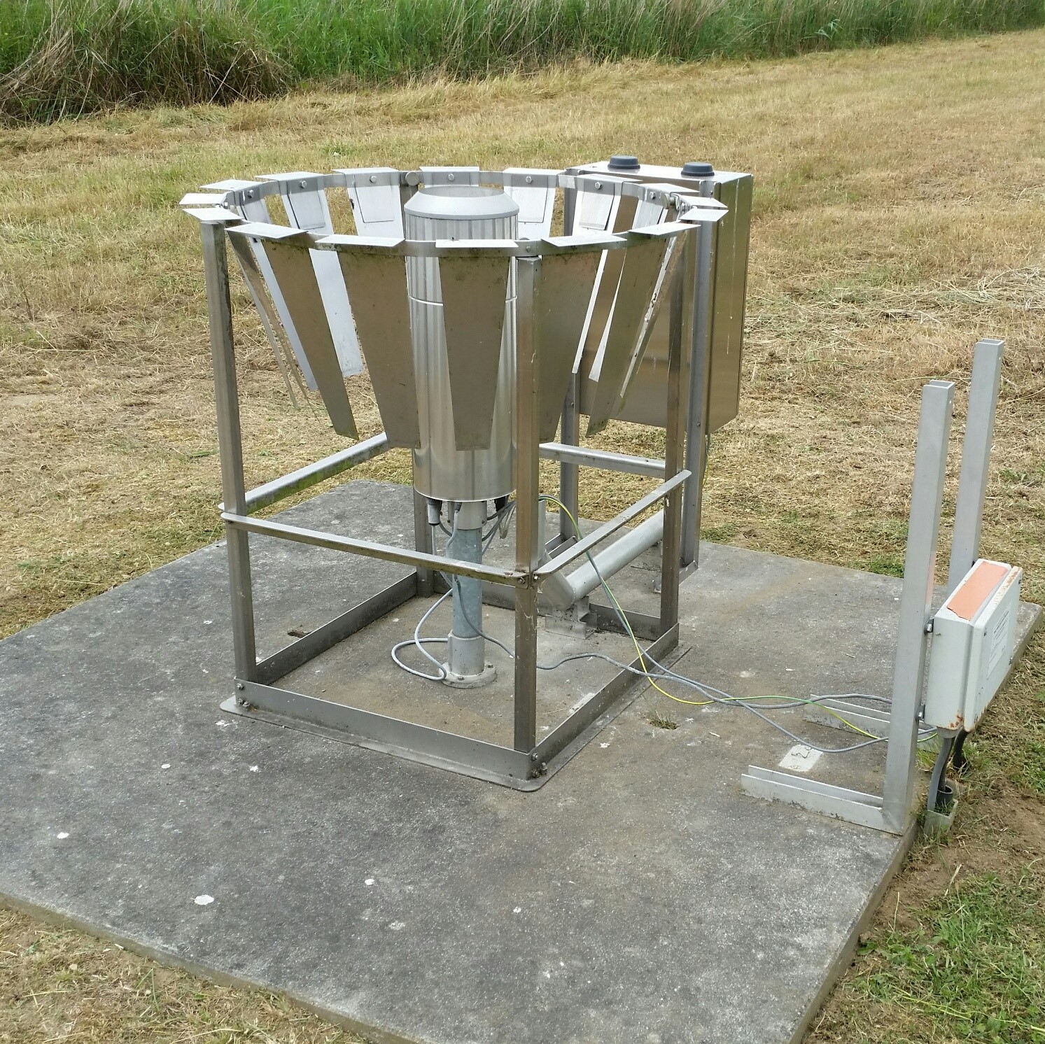 The symbols in the map show how much precipitation each gauging stations has registered.
 The total rainfall as detected by radar, is shown as a layer in the map.
The rainfall forecast is provided by the RMI, based on weather models.
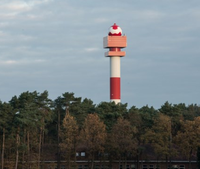
Animated radar images are shown under neerslagradar. You can also download these images by clicking the icon at the top right of the map.
Gauged rainfall provides an overview table of rainfall that was measured over the past 24 or 48 hours.
Read more...